Log in
All resources
Create a design
173 Free Images of 1708 Maps
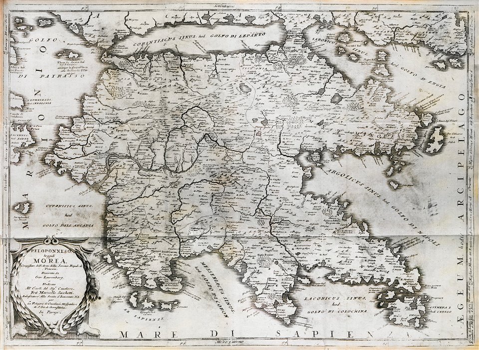
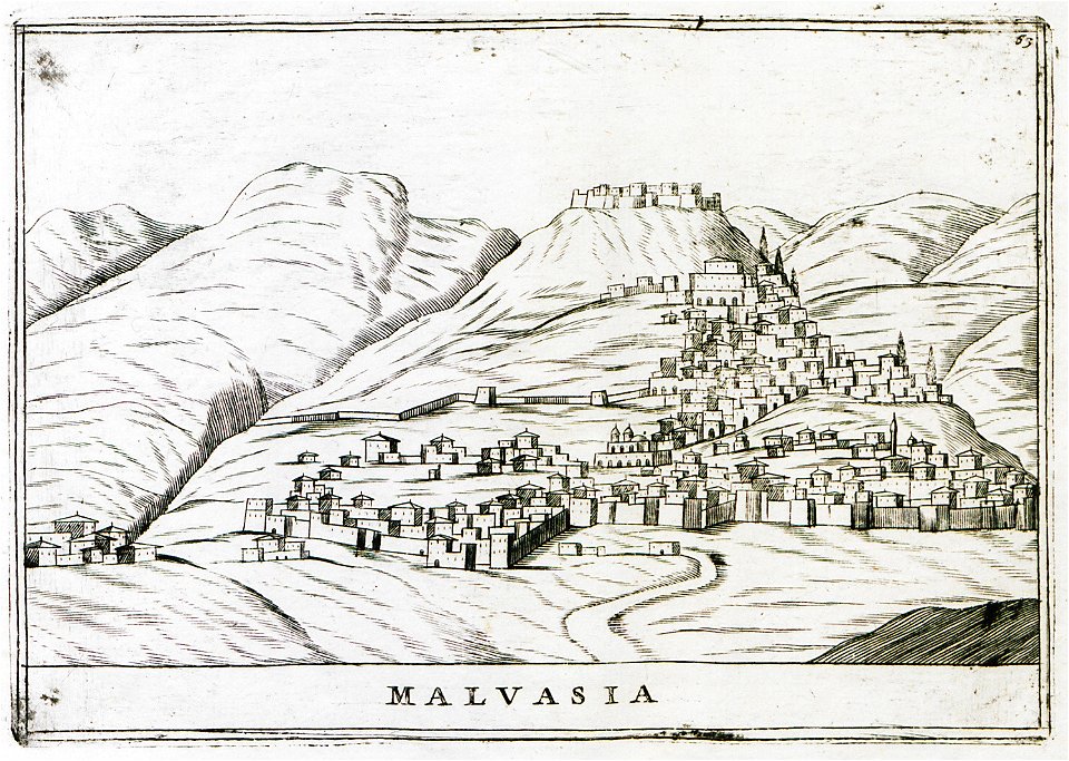
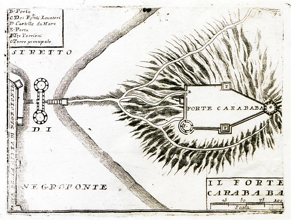
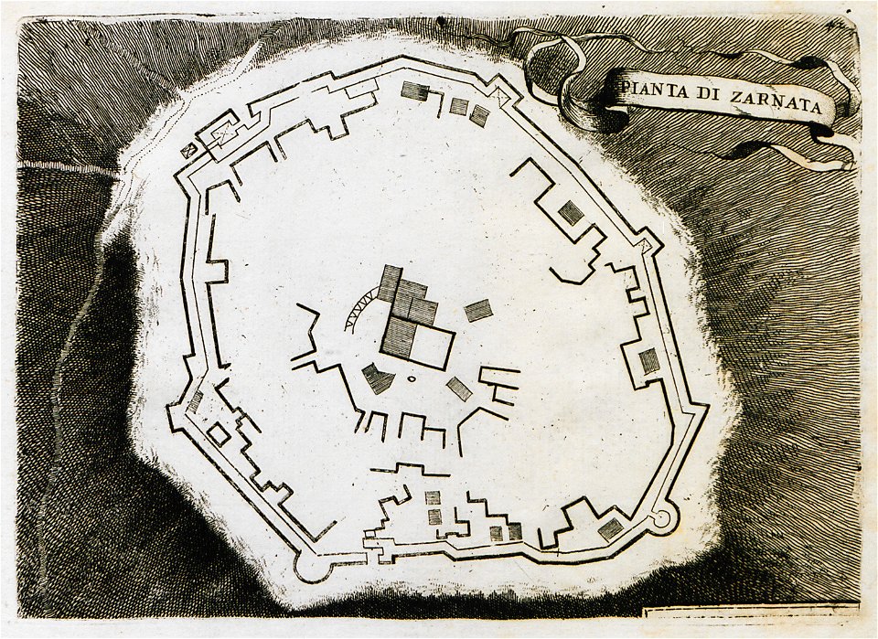
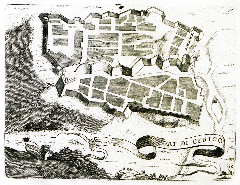
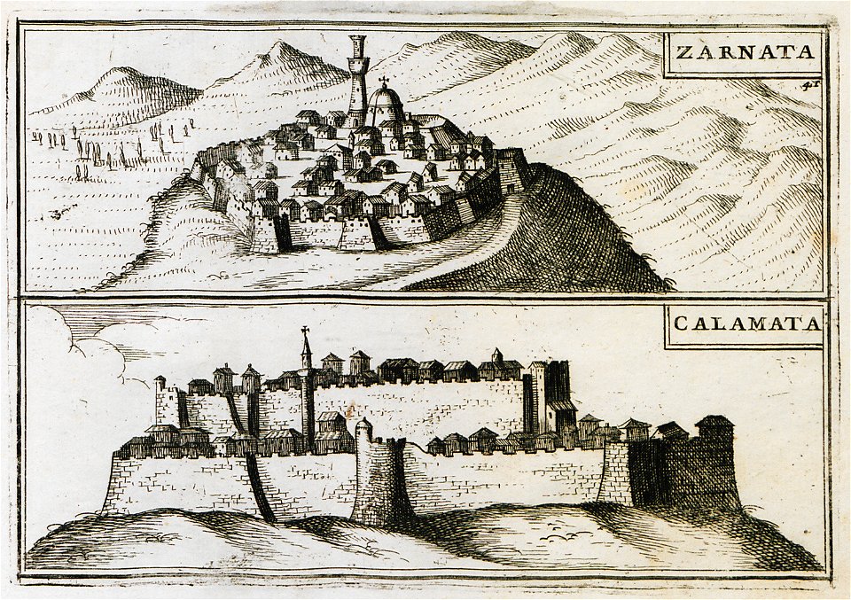
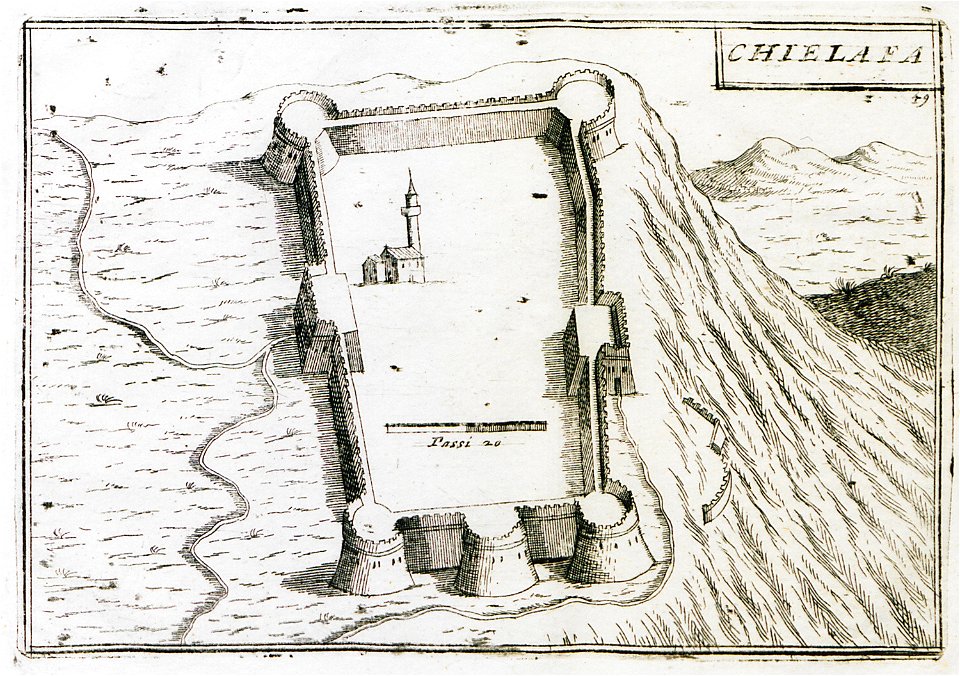
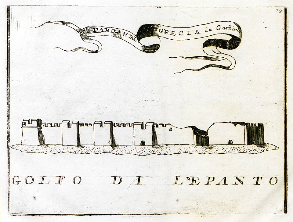
old maps of the peloponnese
geographical illustrations by coronelli
maps by pieter mortier
bibliothèque nationale de france
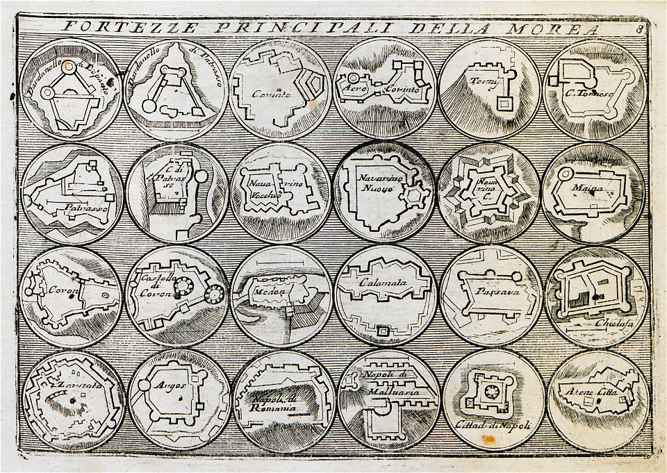
maps by coronelli
pages with maps
cc-zero
gerard valck
maps by gerard valck
historical maps of crema
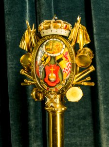
sceptre
gold
self-published work
architecture
self-published work
pages with maps
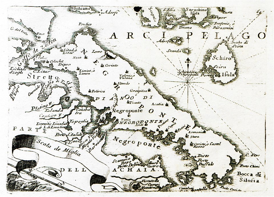
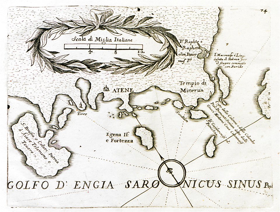
old maps of the peloponnese
maps by coronelli
maps by coronelli
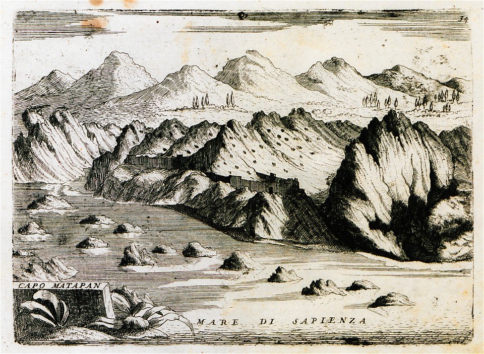
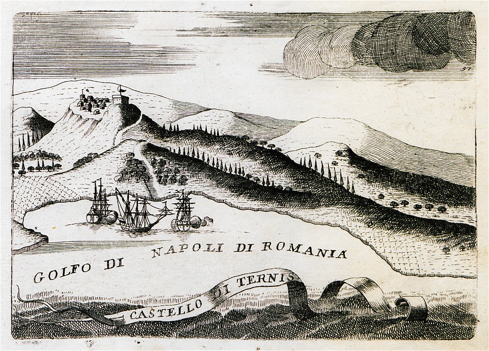
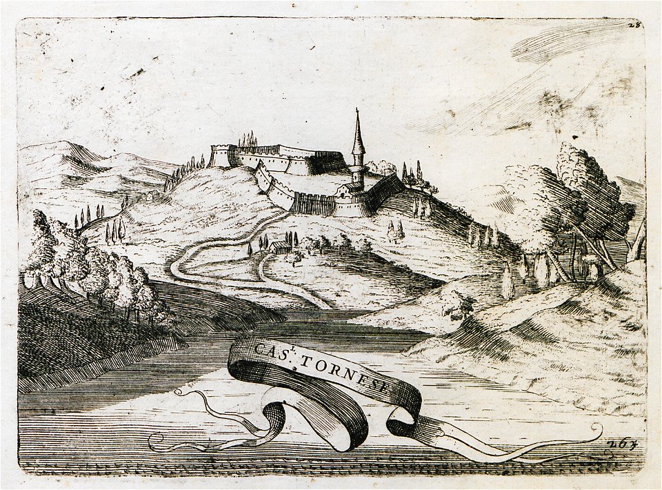
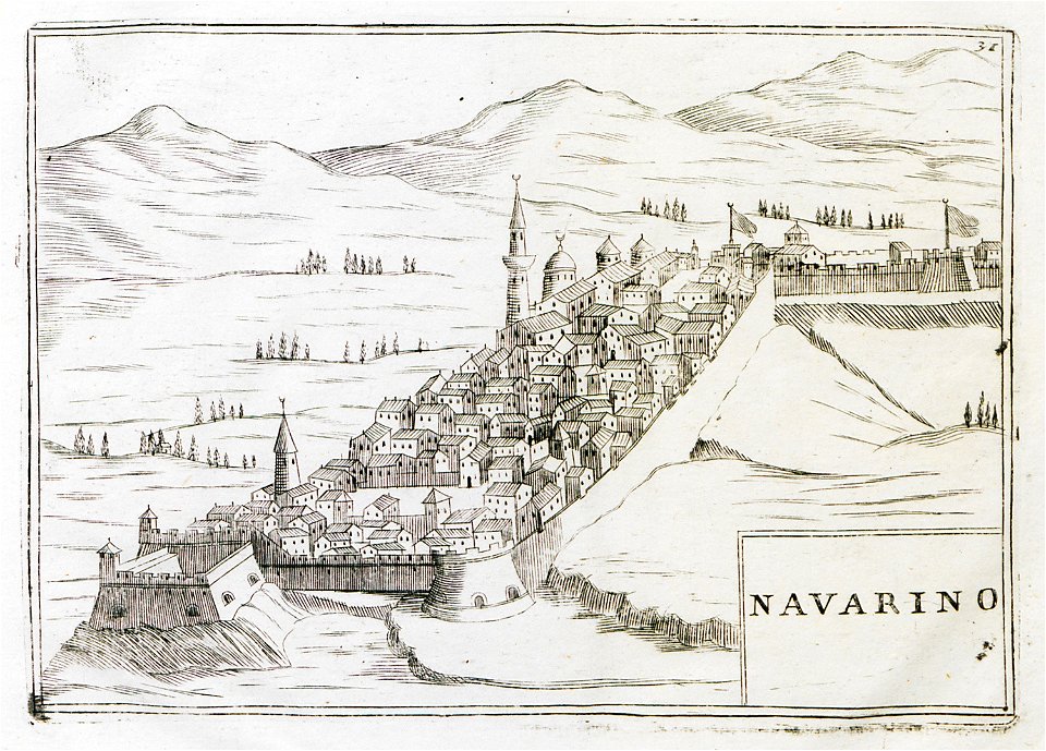
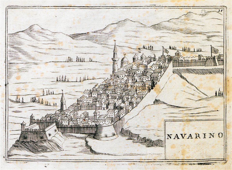
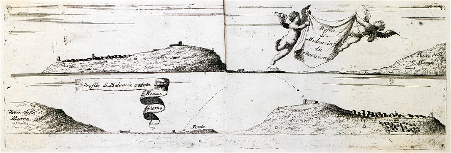
methoni castle
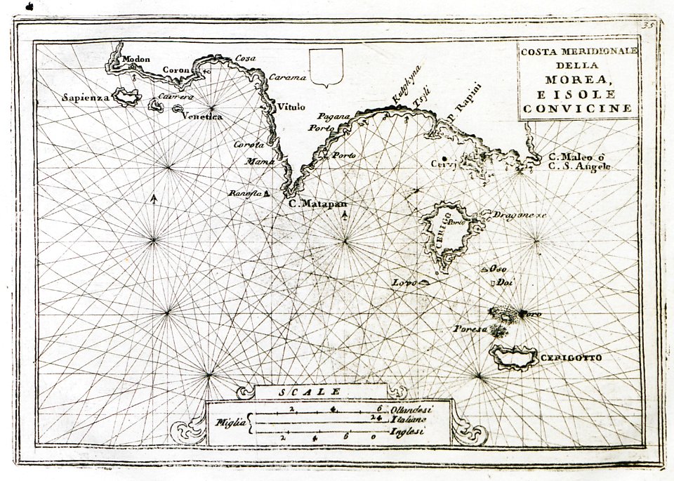
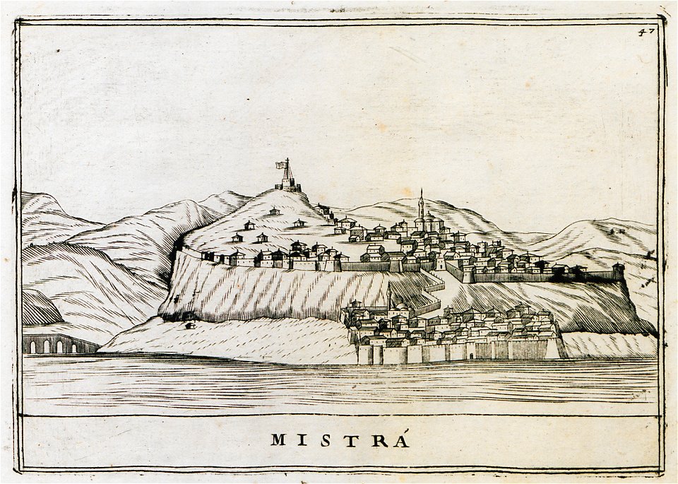
old maps of the peloponnese
maps by coronelli
old maps of the peloponnese
maps by coronelli
geographical illustrations by coronelli
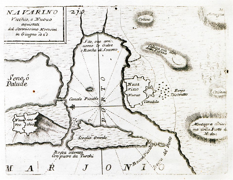
old maps of the peloponnese
old maps of the peloponnese
maps by coronelli
old maps of the peloponnese
maps by coronelli
people
maps
geographical illustrations by coronelli
old maps of the peloponnese
old maps of the peloponnese
maps by coronelli
geographical illustrations by coronelli
old maps of the peloponnese
geographical illustrations by coronelli
old maps of the peloponnese
geographical illustrations by coronelli
old maps of the peloponnese
geographical illustrations by coronelli
old maps of the peloponnese
illustration
maps
geographical illustrations by coronelli
old maps of the peloponnese
geographical illustrations by coronelli
old maps of the peloponnese
geographical illustrations by coronelli
old maps of the peloponnese
geographical illustrations by coronelli
engravings of kythira
geographical illustrations by coronelli
old maps of the peloponnese
geographical illustrations by coronelli
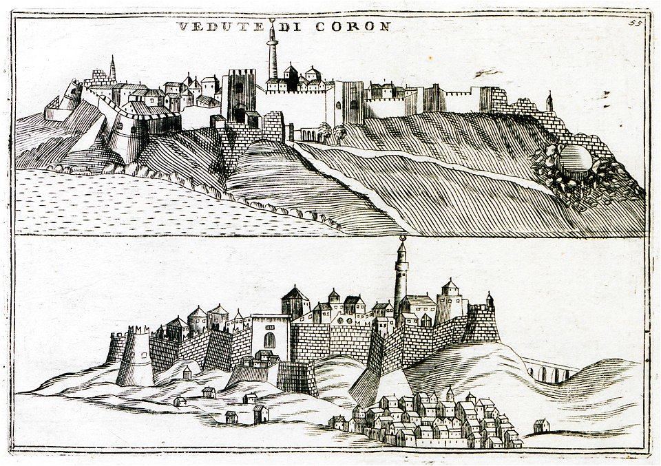
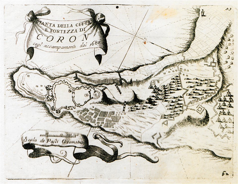
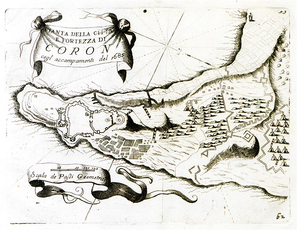
koroni
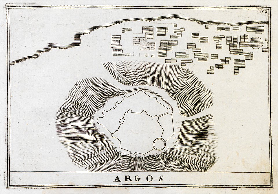
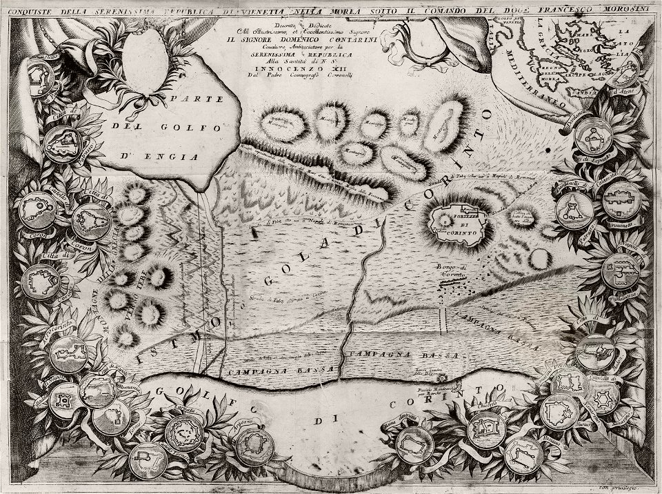
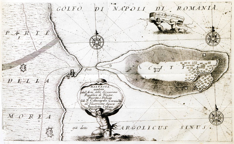
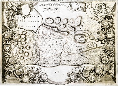
history of argos
argos castle
geographical illustrations by coronelli
old maps of the peloponnese
geographical illustrations by coronelli
old maps of the peloponnese
geographical illustrations by coronelli
old maps of the peloponnese
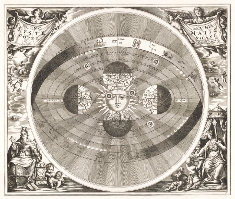
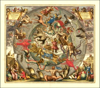
old celestial maps
andreas cellarius
geographical illustrations by coronelli
old maps of the peloponnese
geographical illustrations by coronelli
old maps of the peloponnese
geographical illustrations by coronelli
old maps of the peloponnese
geographical illustrations by coronelli
old maps of the peloponnese
geographical illustrations by coronelli
old maps of the peloponnese
geographical illustrations by coronelli
old maps of the peloponnese
geographical illustrations by coronelli
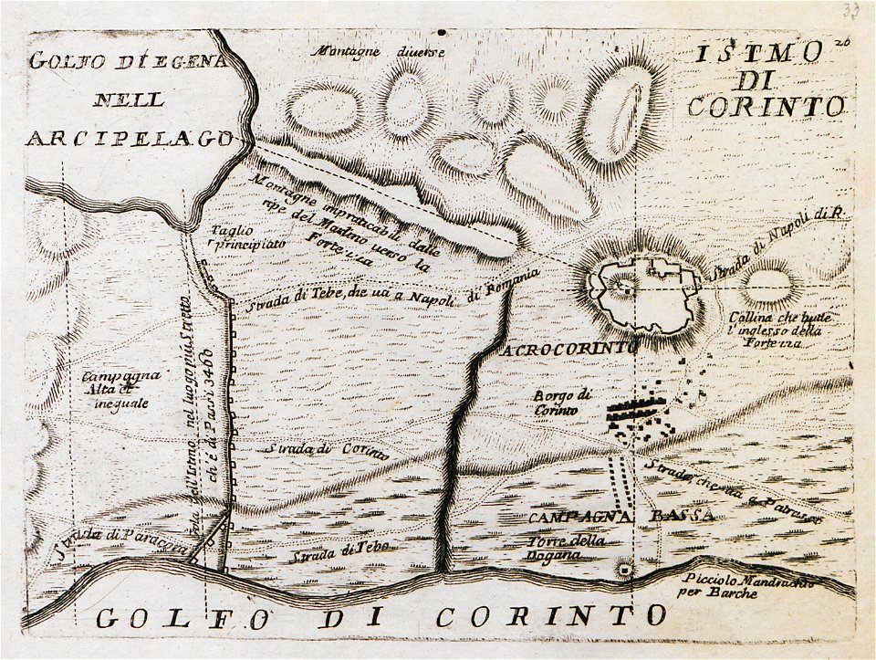
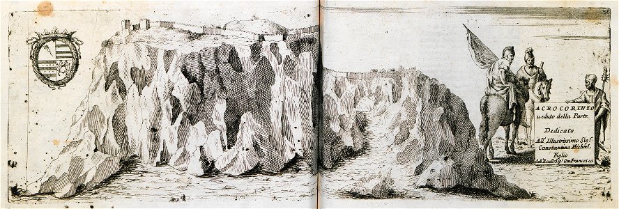
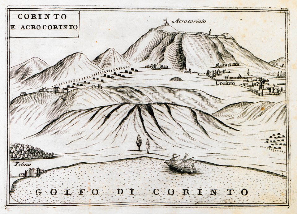
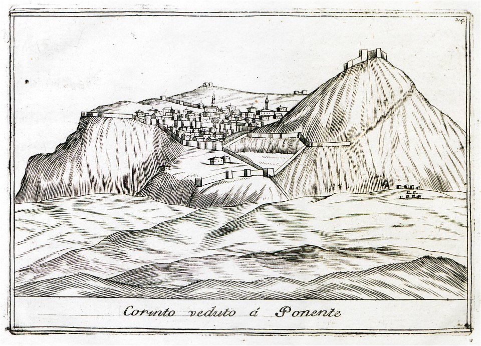
remote views of acrocorinth
geographical illustrations by coronelli
acrocorinth in art
geographical illustrations by coronelli
old maps of the peloponnese
geographical illustrations by coronelli
old maps of the peloponnese
geographical illustrations by coronelli
old maps of the peloponnese
geographical illustrations by coronelli
old maps of the peloponnese
geographical illustrations by coronelli
athens in the ottoman era
geographical illustrations by coronelli
koroni
geographical illustrations by coronelli
remote views of acrocorinth
geographical illustrations by coronelli
remote views of acrocorinth
globe
maps
geographical illustrations by coronelli
old maps of athens
old celestial maps
gerard valck
geographical illustrations by coronelli
old maps of the peloponnese
geographical illustrations by coronelli
old maps of the peloponnese
geographical illustrations by coronelli
koroni
geographical illustrations by coronelli
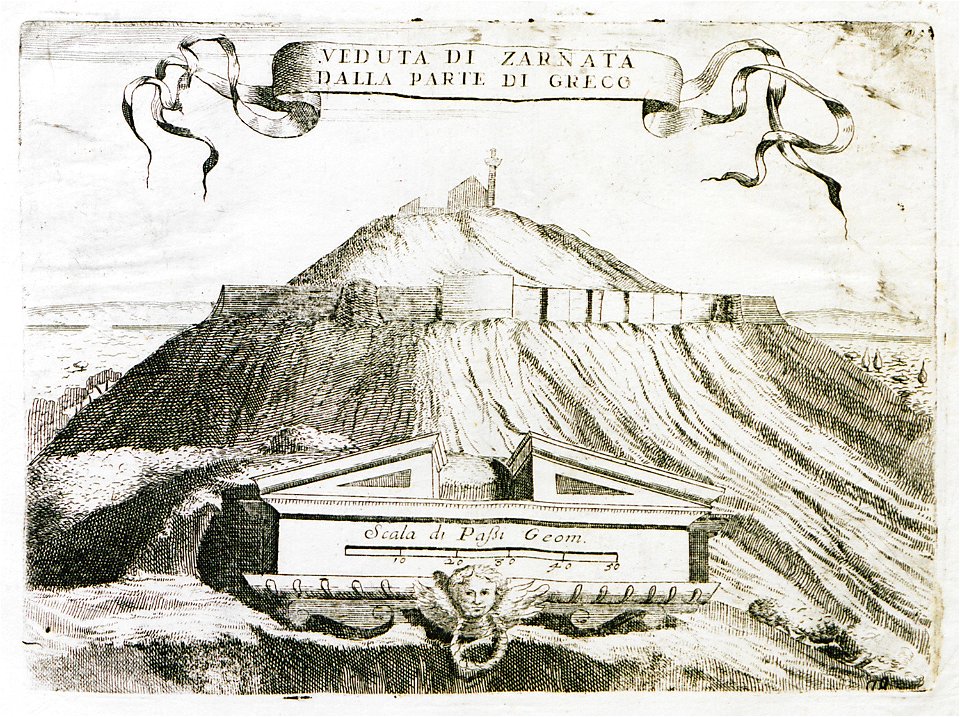
engravings of monemvasia
geographical illustrations by coronelli
old maps of the peloponnese
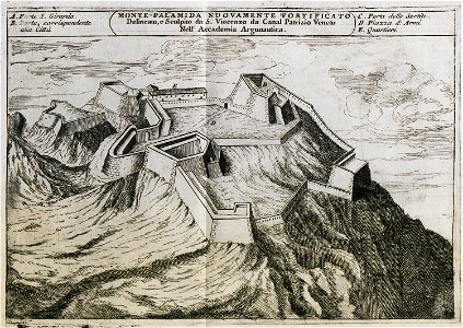
palamidi castle
palamidi
self-published work
pages with maps
geographical illustrations by coronelli
old maps of the peloponnese
self-published work
pages with maps
self-published work
rosace
18th-century double hemisphere world maps
1720s maps of the world
maps of paris from bibliothèque nationale de france
maps of paris by alexis-hubert jaillot
maps of paris from bibliothèque nationale de france
maps of paris by alexis-hubert jaillot
maps of paris from bibliothèque nationale de france
maps of paris by alexis-hubert jaillot
maps of utrecht (city) city walls
old maps of utrecht (city)
maps of utrecht (city) city walls
old maps of utrecht (city)
18th-century maps of north america
1708 maps of north america
18th-century maps of the strait of magellan
1700s maps of argentina
18th-century celestial maps
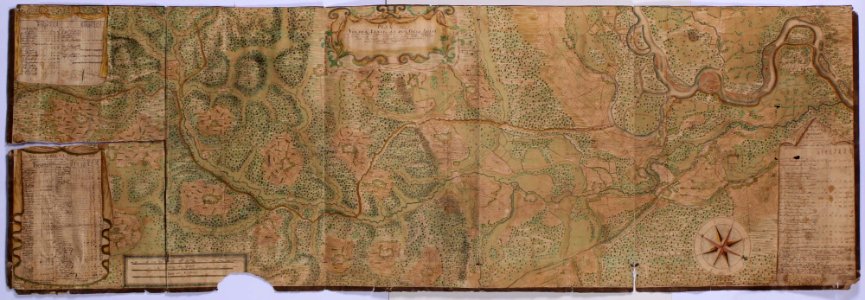
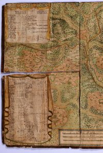
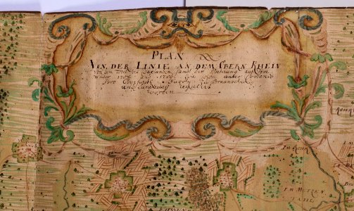
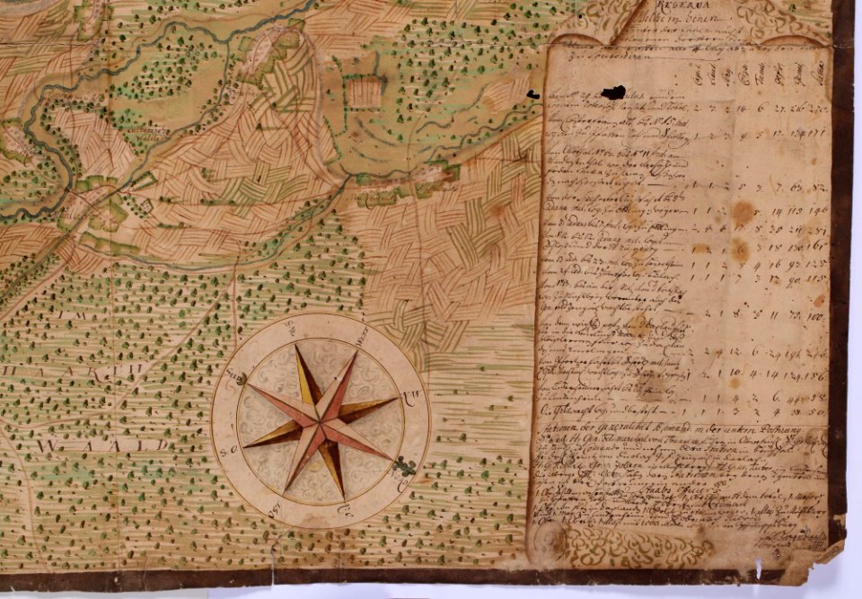
1708 maps
maps of paris from the david rumsey historical map collection
map of paris by jouvin de rochefort (boutier 133)
map of ghent by pierre husson
old maps of the amazon river
1700s maps of brazil
18th-century maps of antwerp
maps of antwerp city walls
1708 in nuremberg
history of wöhrd
history of gostenhof
1708 in nuremberg
lawrence h. slaughter collection of english maps, charts, globes, books and atlases
nypl lionel pincus and princess firyal map division
historical maps of crema
maps by pieter mortier
historical maps of crema
porta serio
historical maps of crema
porta ombriano
maps in the library of congress
1708 maps
lawrence h. slaughter collection of english maps, charts, globes, books and atlases
nypl lionel pincus and princess firyal map division
maps in the library of congress
1708 maps
historical maps of crema
borgo san pietro (crema)
maps in the amsterdam museum
1690s maps of palestine
historical
history
historical
history
eran laor cartographic collection
carolus allard
historical
history
1700s maps of the tsardom of russia
1700s maps of eastern europe
historical
history
18th-century celestial maps
lunar phase diagrams
maps of utrecht (city) city walls
old maps of utrecht (city)
broadsheet prints from koninklijke bibliotheek - maps
broadsheet prints from koninklijke bibliotheek
daniel de la feuille
1708 maps
maps by gerard valck
pieter schenk (i)
le royaume de france distingué by guillaume sanson
maps by nicolas sanson
historical maps of crema
maps by pieter mortier
maps by pieter mortier
maps from gallica
map of the circle of upper saxony by sanson
1700s maps of saxony
media contributed by university of illinois urbana-champaign university library
carte du mexique et de la floride by guillaume delisle (1703)
maps by pieter mortier
maps from gallica
maps in the rijksmuseum amsterdam
maps by gerard valck
1 - 100 of 173
Next page
/ 2


![Map of Paraguay, Chile, and Strait of Magellan - Guillaume de L'Isle, [1703-1708]](https://cdn.creazilla.com/illustrations/10001534848/map-of-paraguay-chile-and-strait-of-magellan-guillaume-de-lisle-1703-1708-md.jpg)


![Map of Peru, Brazil, and Amazon - Guillaume de L'Isle, [1703-1708]](https://cdn.creazilla.com/illustrations/10000755782/map-of-peru-brazil-and-amazon-guillaume-de-lisle-1703-1708-md.jpg)


![North America: based on the observations of Mrs. de l'Académie Royale des Sciences & some others, & on the most recent memoirs, 1700 [i.e. 1708]](https://cdn.creazilla.com/illustrations/10001447935/north-america-based-on-the-observations-of-mrs-de-lacadmie-royale-des-sciences-some-others-on-the-most-recent-memoirs-1700-ie-1708-md.jpg)